HOUSING RESOURCE & DATA CENTER
The Housing Resource & Data Center is a hub for data visualization and policy research on topics related to housing and community development.
Maps and Data Resources
Interactive Maps and Dashboards Houston Metropolitan Data Downloads Research ResourcesCommunity Development Highlights
2022 Houston Market Value Analysis
Reinvestment Fund and Working Partners conducted three (3) Local Stakeholder Group meetings for the 2022 Market Value Analysis Report and Economic Development Investment (EDI) study . The PowerPoint presentations are the final results from the work outsourced by the City of Houston’s Housing and Community Development Department.
Interactive Maps and Dashboards
These maps are updated quarterly and reflect the current status of Houston. Search by address or zip code to learn more about your community.
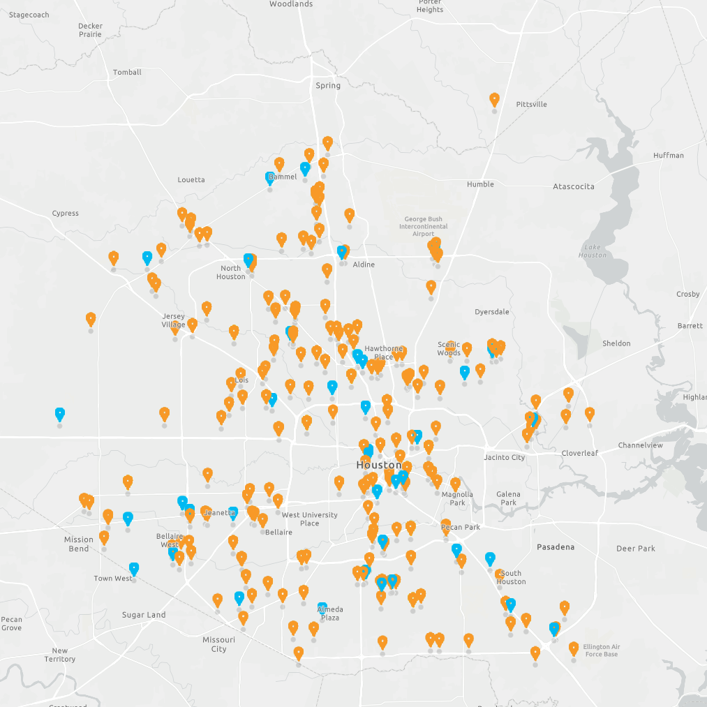
Affordable Housing
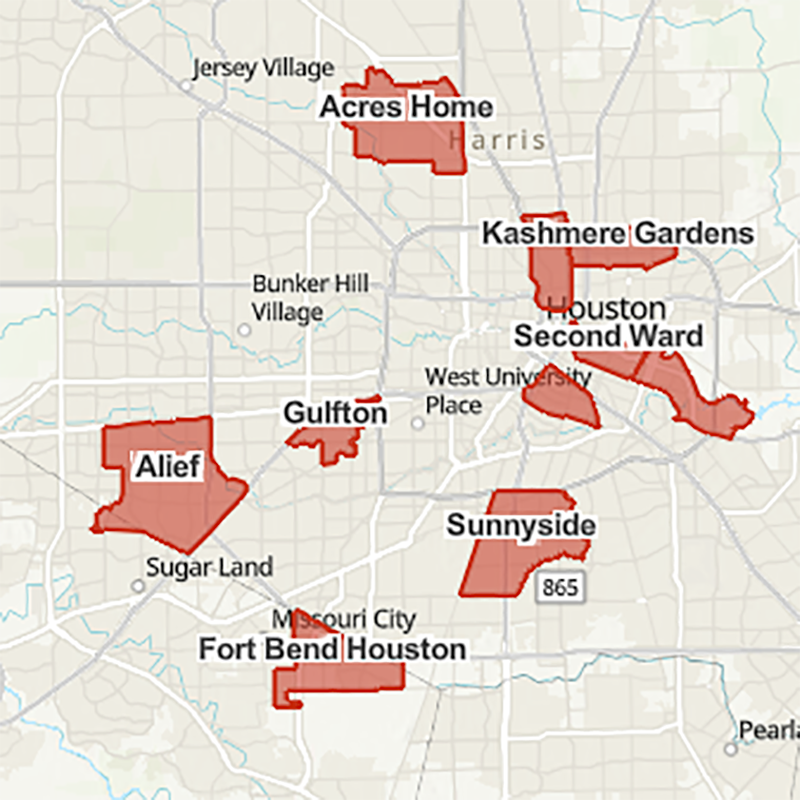
Complete Communities for the City of Houston Dashboard
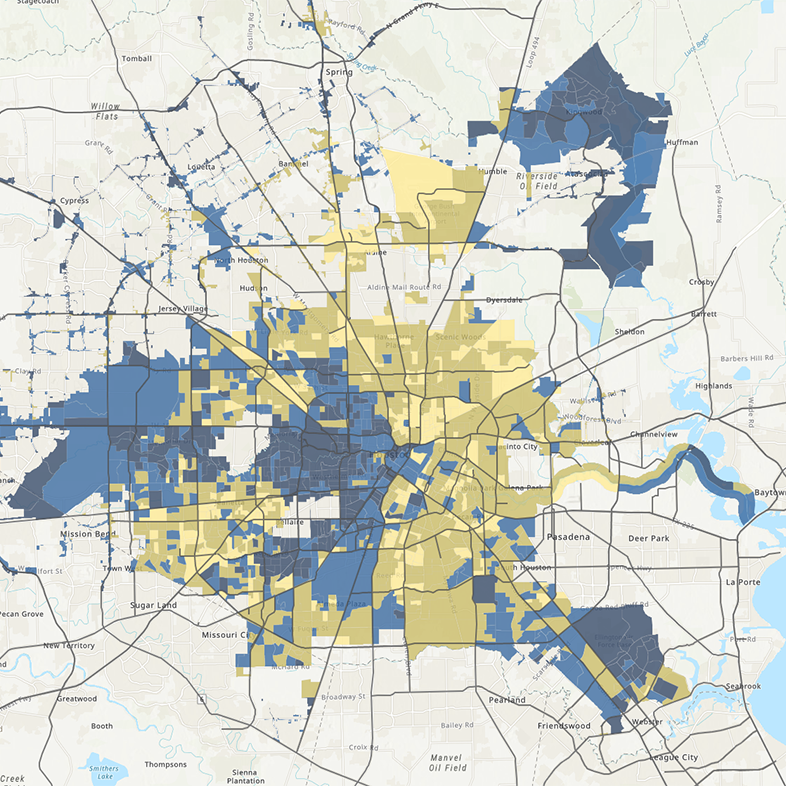
Low to Moderate Income Area Calculator
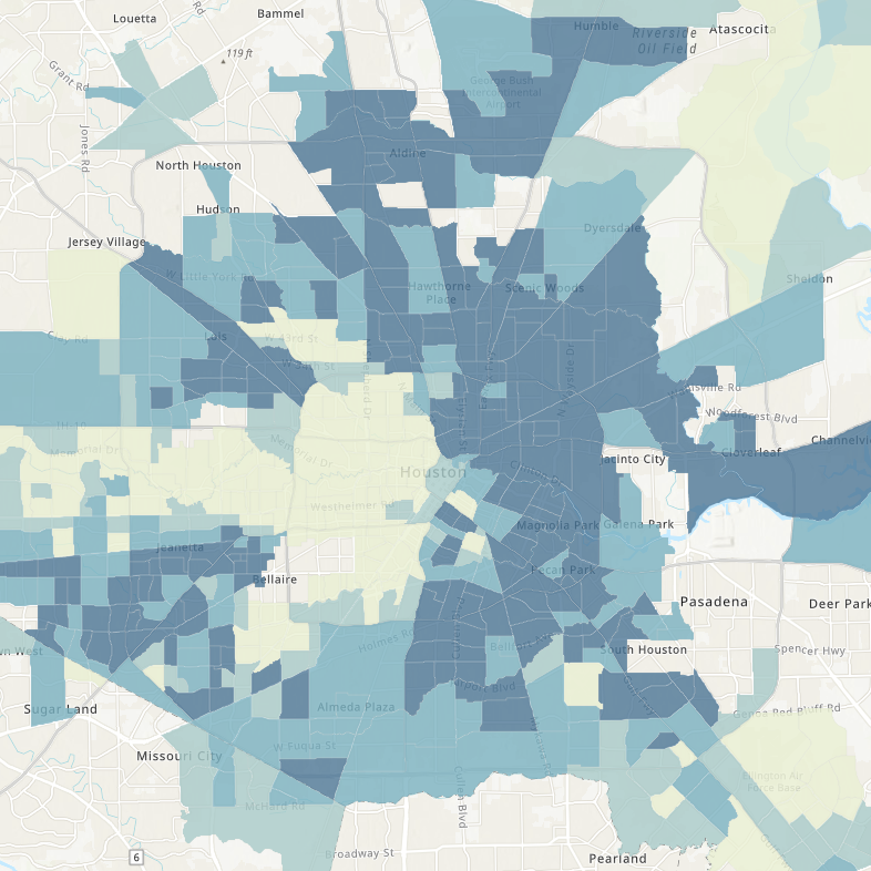
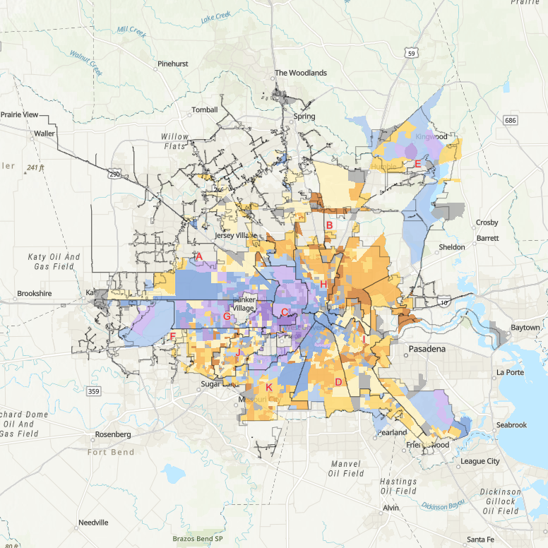
Social Vunerability Index
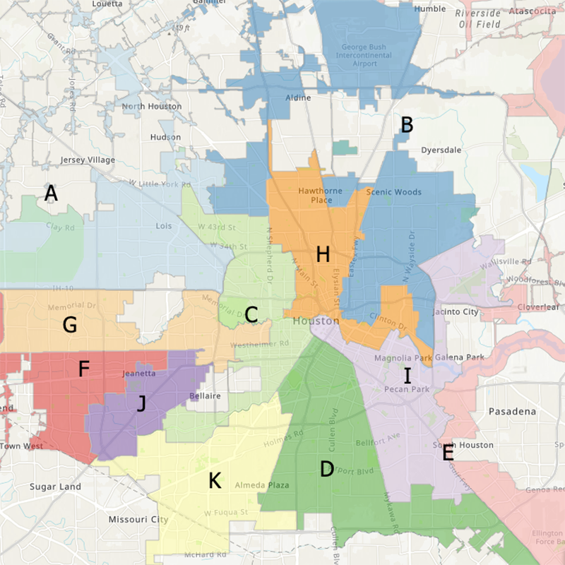
“Where am I?”
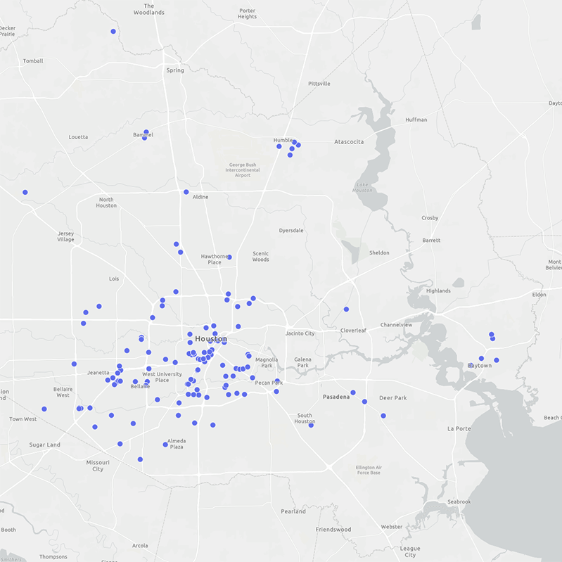
Non-Profit Directory
Houston Metropolitan Data Downloads
The resources listed provide research and available data from research and government organizations.The following datasets can be downloaded and manipulated.

The Open Data Portal is the City of Houston’s platform to host City-wide open data. The Open Data Portal’s goal is to encourage civic engagement and collaboration, improve transparency, and facilitate access to public information.

The Texas Open Data Portal, also known as the ODP, is the official State of Texas repository for publicly accessible open data published by state agencies and institutions of higher education. This data can be viewed, analyzed, visualized, and exported on one platform.

The Kinder Institute Urban Data Platform is a secure data repository and an analytical computing environment that provides research-ready urban data for the Greater Houston Area. The UDP facilitates cross-disciplinary research and community studies to advance knowledge and information about Houston's people, government, and built environment.

The Houston-Galveston Area Council provides GIS products and services to the public in the form of historical GIS datasets and web-based GIS mapping applications.
This page provides data on the number of new housing units authorized by building permits. Data are available monthly, year- to- date, and annually at the national, state, selected metropolitan area, county and place levels. The data are from the Building Permits Survey.
Housing DataFacts on people, places and business collected in censuses and surveys and through administrative records (e.g., birth certificates). The results released based on these data collections are often called statistics.
HUD provides interested researchers with access to the original datasets generated by PD&R-sponsored data collection efforts, including the American Housing Survey, median family incomes and income limits, as well as microdata from research initiatives on topics such as housing discrimination, the HUD-insured multifamily housing stock, and the public housing population.
Institutional Research Resources
Organizations across the city and the state regularly publish research, create interactive tools, and promote housing policy approaches.
Questions?
Contact Joseph Gilbert at 832-394-6407 or Joseph.Gilbert@houstontx.gov.
