Neighborhood Resilience Planning

Braeburn
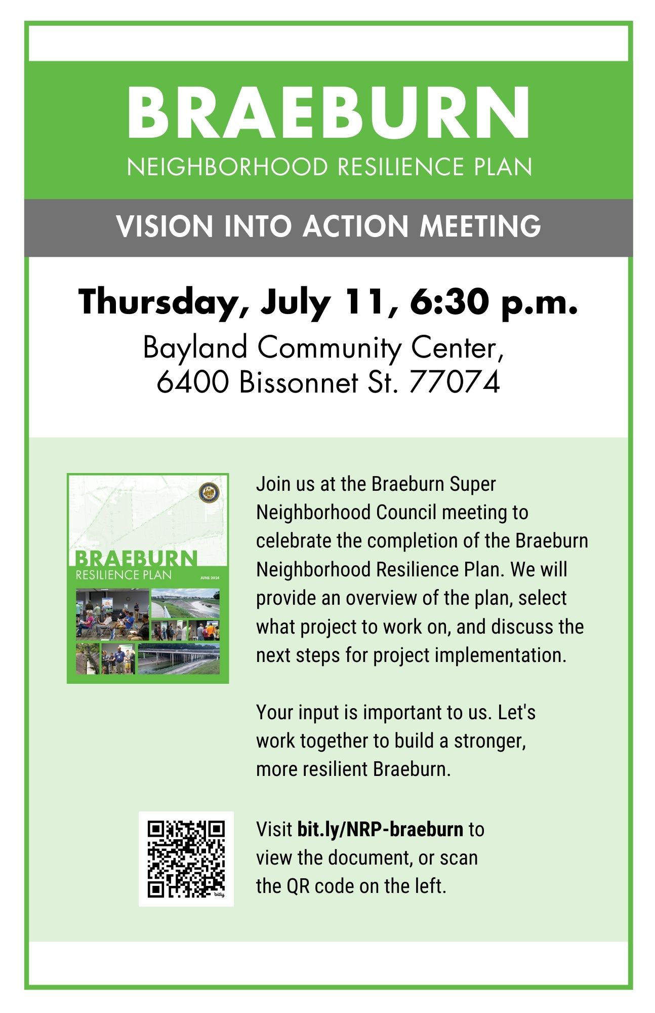
We’re working to create a Neighborhood Resilience Plan for the overall Braeburn community. The plan will be used by community members, City departments and other organizations to improve the community’s ability to prepare for, withstand and recover from flooding, excessive heat and freezing conditions. It will lay out specific projects to reduce risks, improve infrastructure, spur economic development, and enhance social empowerment.

We need your help during this year-long process to make sure the plan is based on the specific needs of your community. To find out about meetings, surveys, and other ways to get involved visit the Braeburn Public Engagement Page.

Braeburn Public Meeting Graphic

LOCATION: The Braeburn Super Neighborhood is located between Brays Bayou and Bissonnet in southwest Houston. Braeburn is a group of subdivisions along Brays Bayou, west of Hillcroft Avenue and south of the Sharpstown community.

HISTORY: Braeburn is a neighborhood located in southwest Houston, Texas, that has a rich and varied history. Originally a rural area characterized by farms and ranches, Braeburn began to develop in the early 20th century as the city of Houston began to expand outward.

In the 1920s, developers began to subdivide large tracts of land in the area, and several small subdivisions were established. These subdivisions were marketed to middle-class families looking for affordable homes outside of the city. Braeburn Country Club was established in 1931 and helped to further develop the area.

In the 1950s and 1960s, the area experienced a significant growth spurt, as many families moved to the suburbs. During this time, many large homes were built in Braeburn, as well as a few apartment complexes and commercial developments. The neighborhood continued to grow in the 1970s and 1980s, with new subdivisions and commercial developments being established.

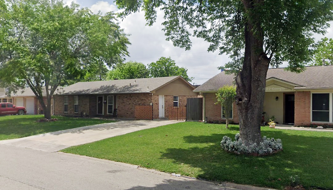
In the 1990s and 2000s, the area experienced some challenges, including a decline in property values and an increase in crime. However, the neighborhood has since rebounded and is now a thriving and diverse community. Today, Braeburn is home to a mix of single-family homes, townhomes, and apartments, as well as a variety of retail and commercial establishments.

Plans

The City of Houston wants to acknowledge all plans from the Braeburn community as they help to identify and prioritize actions, allocate resources, promote community engagement, and ensure that everyone is working towards a common vision for the future.

Contact your Lead Planner if you know of any current or past plans that need to be included.

Plan

Organization

Date

Summary

TIRZ 20 Southwest Houston Ordinance

Southwest Management District

4/19/
2000  

This document is an ordinance approving an amended project plan and reinvestment zone financing plan.

Mobility & Transportation

Brays Oak Management District


The District is developing a transportation/mobility master plan to integrate with existing federal, state, regional, county, and city transportation planning efforts

Hillcroft Avenue Healthy Connections Study

Brays Oak Management District


This study reviews the existing state of the corridor, evaluates feasible sustainable transportation alternatives along the Hillcroft Avenue Corridor and identifies other potential neighborhood connections

Parks Master Plan

Brays Oak Management District

02/2013

The Parks Master Plan is a clearly defined guide for the future of park facilities, and trail development. This plan includes an inventory of existing park facilities and trails, and lists suggestions for improvements.

NST Survey Link:
Map Survey: This type of survey helps to obtain information about features such as buildings, roads, and landmarks. The Braeburn community can contribute to a better understanding of your neighborhood by showing us the places you love and areas that need improvement.

https://www.letstalkhouston.org/braeburn/maps/braeburn-super-neighborhood-3

Community Survey: The result of this survey will provide valuable information about the needs and options of the community. It will also help to identify areas of improvement, promote community engagement and participation, and it will identify community leaders who need to be involved in the NRP process.

https://www.letstalkhouston.org/braeburn/survey_tools/questions-for-community-leaders

Maps

Click images below for full-sized .png maps

Community Services Map

Community
Services

Floodplain Map

Floodplain
.

Land Use Map

Land
Use

Lead Planner

Abraham Zorrilla
832.393.6634
Abraham.Zorrilla@houstontx.gov