Walkable Places Pilot Areas - Hogan/Lorraine Street
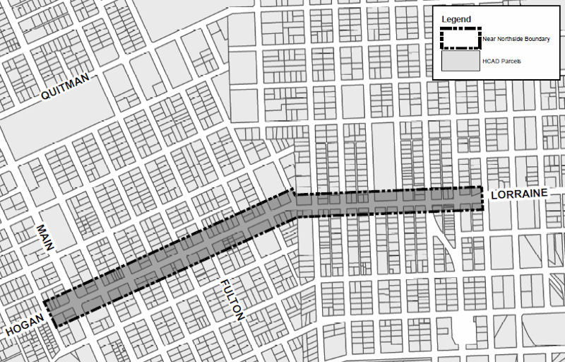
The Near Northside was selected as a pilot area for Walkable Places due to its close geographic location to downtown and to accelerate the action plan for Complete Communities. The boundary encompasses the length of Hogan/Lorraine, from Keene to Maury. The district boundary was chosen as an opportunity to connect all the incoming improvement plans created for Near Northside including the Bike Plan, Capital Improvement Projects (CIP), Transit Corridor and Hardy Toll Road. Working with the management district, the community and local stakeholders, Walkable Places will help the community become more walkable by creating development regulations that will ensure development occurring within the boundary creates a comfortable and welcoming transition from one place to another, encourages walking, and multimodal transportation use to create a Walkable Places district an experience unto itself.
Hogan/Lorraine Street Area Boundary

Near Northside, click graphic for a full-sized .pdf version.
Hogan/Lorraine Walkable Place Rules
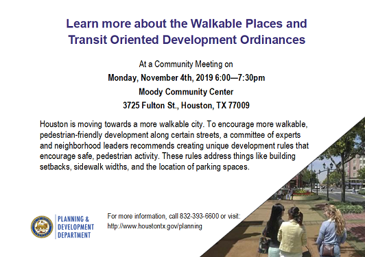
Past Community Meeting
Click the tab below to view the past community meetings
Walkable Places Team
Carlos G. Espinoza y Sánchez, Project Manager
John Cedillo
Jose Mendoza
Phone: 832.393.6600
Fax: 832.393.6647


